แม่แบบ:Location map Denmark
หน้าตา
| name | Denmark | |||
|---|---|---|---|---|
| border coordinates | ||||
| 57.9 | ||||
| 7.8 | ←↕→ | 15.4 | ||
| 54.3 | ||||
| map center | 56°06′N 11°36′E / 56.1°N 11.6°E | |||
| image | Denmark location map.svg | |||

| ||||
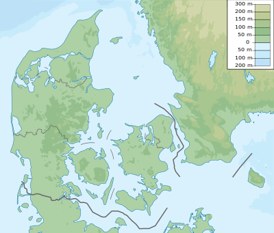
| image1 | Denmark physical map.svg | |||

| ||||
Alternative map
[แก้]The map defined as image1 (Denmark physical map.svg) can be displayed by using the AlternativeMap or relief parameters in {{Location map}}, {{Location map many}} and {{Location map+}}. Further instructions can be found at Template:Location map#Using Alternative Map and Template:Location map#Relief.
See also
[แก้]- Template:Location map DenmarkCIAx - a different map image with different border coordinates
