
ไฟล์:Azerbaijan adm location map.svg

ดูภาพที่มีความละเอียดสูงกว่า ((ไฟล์ SVG, 1,200 × 919 พิกเซล, ขนาดไฟล์: 274 กิโลไบต์))
| รูปภาพหรือไฟล์เสียงนี้ ต้นฉบับอยู่ที่ คอมมอนส์ รายละเอียดด้านล่าง เป็นข้อความที่แสดงผลจาก ไฟล์ต้นฉบับในคอมมอนส์
|
ความย่อ
| คำอธิบาย |
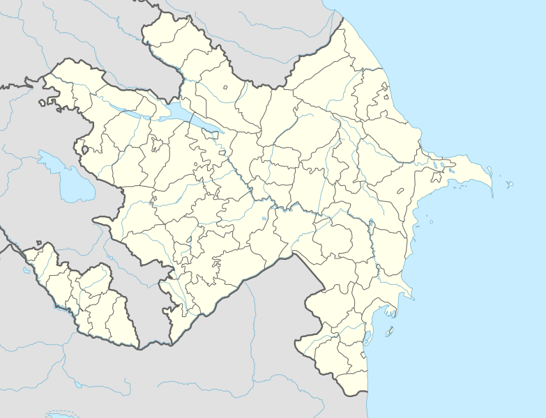
Deutsch: Positionskarte von Aserbaidschan
English: Location map of Azerbaijan
|
||||||||||||
| วันที่ | |||||||||||||
| แหล่งที่มา |
Own work using:
|
||||||||||||
| ผู้สร้างสรรค์ | NordNordWest | ||||||||||||
| เวอร์ชันอื่น |
|
||||||||||||
_location_map.svg)
_location_map.svg)

|
แผนที่นี้ถูกสร้างหรือพัฒนาขึ้นจาก Kartenwerkstatt (ห้องปฏิบัติการแผนที่) ของวิกิพีเดียภาษาเยอรมัน ซึ่งคุณสามารถเสนอแผนที่เพื่อพัฒนาได้เช่นเดียวกัน
|
การอนุญาตใช้สิทธิ
Usage of this file with:

explanatory notes: Legally binding is only the full legalcode. For a free usage I recommend to respect the following licence conditions:
1. Provide my name as given above: NordNordWest,
2. a copy of, or the URI for, the applicable license: https://creativecommons.org/licenses/by-sa/3.0/de/legalcode,
3. the title of the work,
4. in the case of an adaptation, a credit identifying the use of the work in the adaptation.
This license and the rights granted hereunder will terminate automatically upon any breach by you of the terms of this license. Any of the above conditions can be waived if you get permission from the copyright holder. If you have questions or wish differing conditions, please contact me through nnwest or my discussion page ![]() t-online.de
t-online.de
- คุณสามารถ:
- ที่จะแบ่งปัน – ที่จะทำสำเนา แจกจ่าย และส่งงานดังกล่าวต่อไป
- ที่จะเรียบเรียงใหม่ – ที่จะดัดแปลงงานดังกล่าว
- ภายใต้เงื่อนไขต่อไปนี้:
- แสดงที่มา – คุณต้องให้เกียรติเจ้าของงานอย่างเหมาะสม โดยเพิ่มลิงก์ไปยังสัญญาอนุญาต และระบุหากมีการเปลี่ยนแปลง คุณอาจทำเช่นนี้ได้ในรูปแบบใดก็ได้ตามควร แต่ต้องไม่ใช่ในลักษณะที่แนะว่าผู้ให้อนุญาตสนับสนุนคุณหรือการใช้งานของคุณ
- อนุญาตแบบเดียวกัน – หากคุณดัดแปลง เปลี่ยนรูป หรือต่อเติมงานนี้ คุณต้องใช้สัญญาอนุญาตแบบเดียวกันหรือแบบที่เหมือนกับสัญญาอนุญาตที่ใช้กับงานนี้เท่านั้น

ประวัติไฟล์
คลิกวันที่/เวลาเพื่อดูไฟล์ที่ปรากฏในขณะนั้น
| วันที่/เวลา | รูปย่อ | ขนาด | ผู้ใช้ | ความเห็น | |
|---|---|---|---|---|---|
| ปัจจุบัน | 21:39, 10 เมษายน 2567 | | 1,200 × 919 (274 กิโลไบต์) | NordNordWest | corr |
| 03:51, 27 มกราคม 2567 |  | 1,200 × 919 (274 กิโลไบต์) | NordNordWest | corr Ağdərə | |
| 19:58, 7 ตุลาคม 2566 |  | 1,200 × 919 (273 กิโลไบต์) | Nemoralis | this is in common usage | |
| 19:31, 7 ตุลาคม 2566 |  | 1,200 × 919 (280 กิโลไบต์) | Toghrul R | there's a separate file for this | |
| 03:24, 3 ตุลาคม 2566 |  | 1,200 × 919 (273 กิโลไบต์) | Qutlu | upd | |
| 02:18, 21 เมษายน 2564 |  | 1,200 × 919 (280 กิโลไบต์) | NordNordWest | . | |
| 02:18, 20 เมษายน 2564 |  | 1,200 × 919 (286 กิโลไบต์) | AntonSamuel | Further minor fixes | |
| 02:12, 20 เมษายน 2564 |  | 1,200 × 919 (286 กิโลไบต์) | AntonSamuel | Stripes fix | |
| 22:58, 19 เมษายน 2564 |  | 1,200 × 919 (286 กิโลไบต์) | AntonSamuel | Minor fix for Shusha | |
| 22:56, 19 เมษายน 2564 |  | 1,200 × 919 (286 กิโลไบต์) | AntonSamuel | Further adjustments |
หน้าที่มีภาพนี้
หน้าต่อไปนี้ โยงมาที่ภาพนี้:
การใช้ไฟล์ข้ามโครงการ
วิกิอื่นต่อไปนี้ใช้ไฟล์นี้:
- การใช้บน ab.wikipedia.org
- การใช้บน af.wikipedia.org
- การใช้บน als.wikipedia.org
- การใช้บน ang.wikipedia.org
- การใช้บน an.wikipedia.org
- การใช้บน ar.wikipedia.org
- การใช้บน ast.wikipedia.org
- Baku Crystal Hall
- Bakú
- Estadiu Tofiq Bəhramov
- Complexu Deportivu y de Conciertos Heydər Əliyev
- Tigranakert (Artsakh)
- Stepanakert
- Sumqayit
- Mingachevir
- Circuitu urbanu de Bakú
- Módulu:Mapa de llocalización/datos/Azerbaixán
- Módulu:Mapa de llocalización/datos/Azerbaixán/usu
- Frontera ente Azerbaixán ya Irán
- Frontera ente Azerbaixán y Turquía
- Alministración Presidencial d'Azerbaixán
- Aeropuertu Internacional Heydar Aliyev
- Aeropuertu de Ganja
- Aeropuertu de Stepanakert
- Puertu comercial marítimu internacional de Bakú
- Muséu Estatal d'Historia d'Azerbaixán
- Muséu d'Arte Modernu de Bakú
- Observatoriu Astrofísicu de Şamaxı
- Metro de Bakú
- Estación de ferrocarril de Bakú
- Islla Gil (Azerbaixán)
- การใช้บน av.wikipedia.org
- การใช้บน azb.wikipedia.org
ดูการใช้ข้ามโครงการเพิ่มเติมของไฟล์นี้