ไฟล์:Earth Western Hemisphere.jpg
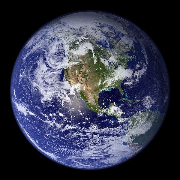
ขนาดของตัวอย่างนี้: 600 × 600 พิกเซล ความละเอียดอื่น: 240 × 240 พิกเซล | 480 × 480 พิกเซล | 768 × 768 พิกเซล | 1,024 × 1,024 พิกเซล | 2,048 × 2,048 พิกเซล
ดูภาพที่มีความละเอียดสูงกว่า (2,048 × 2,048 พิกเซล, ขนาดไฟล์: 579 กิโลไบต์, ชนิดไมม์: image/jpeg)
ประวัติไฟล์
คลิกวันที่/เวลาเพื่อดูไฟล์ที่ปรากฏในขณะนั้น
| วันที่/เวลา | รูปย่อ | ขนาด | ผู้ใช้ | ความเห็น | |
|---|---|---|---|---|---|
| ปัจจุบัน | 10:09, 25 สิงหาคม 2548 | 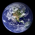 | 2,048 × 2,048 (579 กิโลไบต์) | Tom | {{PD-USGov-NASA}} http://earthobservatory.nasa.gov/Newsroom/BlueMarble/Images/globe_west_2048.jpg Much of the information contained in this image came from a single remote-sensing device-NASA’s Moderate Resolution Imaging Spectroradiometer, or MODIS. |
หน้าที่มีภาพนี้
ไม่มีหน้าใดโยงมาที่ภาพนี้
การใช้ไฟล์ข้ามโครงการ
วิกิอื่นต่อไปนี้ใช้ไฟล์นี้:
- การใช้บน af.wikipedia.org
- การใช้บน ang.wikipedia.org
- การใช้บน ar.wikipedia.org
- العالم
- الأرض
- آسيا
- قارة
- المحيط الهندي
- المحيط الهادئ
- القارة القطبية الجنوبية
- أمريكا الشمالية
- أمريكا الجنوبية
- علم البيئة
- نظام بيئي
- المحيط المتجمد الشمالي
- علوم الأرض
- المحيط المتجمد الجنوبي
- الصفائح التكتونية
- طبيعة
- محيط (جغرافيا)
- تاريخ الأرض
- حيوم
- أستراليا (قارة)
- تغير أسماء دول آسيا خلال القرن العشرين
- برية
- إفريقيا
- المحيط الأطلسي
- بوابة:المجموعة الشمسية
- تاريخ الأرض الجيولوجي
- العالم من دوننا (كتاب)
- بنية الأرض
- قالب:الأرض الطبيعية
- مستقبل الأرض
- اختلال بيئي
- أرض صلبة
- مركز مراقبة علوم وموارد الأرض
- بوابة:المجموعة الشمسية/قوالب
- تاريخ آسيا الوسطى
- بيئة طبيعية
- مستخدم:Nehaoua/مهامي
- دائرة قطبية
- تضاريس قارة إفريقيا
- الفريق المعني برصد الأرض
- بوابة:محيطات
- بوابة:محيطات/قوالب
- การใช้บน arz.wikipedia.org
- การใช้บน ast.wikipedia.org
- การใช้บน bg.wikipedia.org
ดูการใช้ข้ามโครงการเพิ่มเติมของไฟล์นี้


