
ไฟล์:Wiltshire UK locator map 2010.svg

ขนาดของตัวอย่าง PNG นี้ของไฟล์ SVG นี้: 494 × 600 พิกเซล ความละเอียดอื่น: 198 × 240 พิกเซล | 395 × 480 พิกเซล | 633 × 768 พิกเซล | 843 × 1,024 พิกเซล | 1,687 × 2,048 พิกเซล | 1,108 × 1,345 พิกเซล
ดูภาพที่มีความละเอียดสูงกว่า ((ไฟล์ SVG, 1,108 × 1,345 พิกเซล, ขนาดไฟล์: 302 กิโลไบต์))
| รูปภาพหรือไฟล์เสียงนี้ ต้นฉบับอยู่ที่ คอมมอนส์ รายละเอียดด้านล่าง เป็นข้อความที่แสดงผลจาก ไฟล์ต้นฉบับในคอมมอนส์
|
ความย่อ
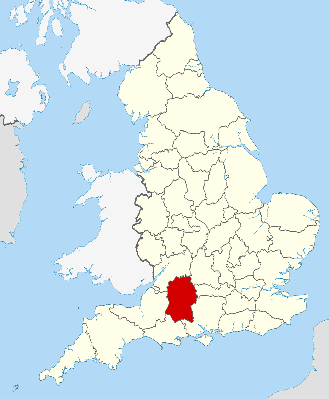
| คำอธิบาย | Location of the ceremonial county of Wiltshire within England. |
| วันที่ | |
| แหล่งที่มา |
National Geospatial-Intelligence Agency
|
| ผู้สร้างสรรค์ | Nilfanion |
| SVG genesis | ไฟล์ภาพกราฟิกส์เวกเตอร์ W3C ตรวจสอบแล้วมีข้อผิดพลาดในไฟล์นี้ สร้างขึ้นโดยใช้ Other tools |
การอนุญาตใช้สิทธิ
ข้าพเจ้า ในฐานะผู้ถือลิขสิทธิ์ของภาพหรือสื่อนี้ อนุญาตให้ใช้ภาพหรือสื่อนี้ภายใต้เงื่อนไขต่อไปนี้
ไฟล์นี้อยู่ภายใต้สัญญาอนุญาต ครีเอทีฟคอมมอนส์ แบบแสดงที่มา-อนุญาตแบบเดียวกัน 3.0 ต้นฉบับ
- คุณสามารถ:
- ที่จะแบ่งปัน – ที่จะทำสำเนา แจกจ่าย และส่งงานดังกล่าวต่อไป
- ที่จะเรียบเรียงใหม่ – ที่จะดัดแปลงงานดังกล่าว
- ภายใต้เงื่อนไขต่อไปนี้:
- แสดงที่มา – คุณต้องให้เกียรติเจ้าของงานอย่างเหมาะสม โดยเพิ่มลิงก์ไปยังสัญญาอนุญาต และระบุหากมีการเปลี่ยนแปลง คุณอาจทำเช่นนี้ได้ในรูปแบบใดก็ได้ตามควร แต่ต้องไม่ใช่ในลักษณะที่แนะว่าผู้ให้อนุญาตสนับสนุนคุณหรือการใช้งานของคุณ
- อนุญาตแบบเดียวกัน – หากคุณดัดแปลง เปลี่ยนรูป หรือต่อเติมงานนี้ คุณต้องใช้สัญญาอนุญาตแบบเดียวกันหรือแบบที่เหมือนกับสัญญาอนุญาตที่ใช้กับงานนี้เท่านั้น

|
อนุญาตให้คัดลอก แจกจ่ายและ/หรือดัดแปรเอกสารนี้ภายใต้เงื่อนไขของสัญญาอนุญาตเอกสารเสรีของกนู รุ่น 1.2 หรือรุ่นใด ๆ นับจากนี้ที่ออกโดยมูลนิธิซอฟต์แวร์เสรี โดยไม่มีส่วนใดห้ามแก้ไข ไม่มีข้อความปกหน้าและปกหลัง สำเนาของสัญญาอนุญาตรวมอยู่ในส่วนชื่อ สัญญาอนุญาตเอกสารเสรีของกนู |
คุณสามารถเลือกสัญญาอนุญาตดังกล่าวตามต้องการ

|
This is one of the images forming part of the Valued image set: Locator maps of the Ceremonial counties of England on Wikimedia Commons. The image set has been assessed under the valued image set criteria and is considered the most valued set on Commons within the scope:
Locator maps of the Ceremonial counties of England
You can see its nomination at Commons:Valued image candidates/Locator maps of English ceremonial counties. |
ประวัติไฟล์
คลิกวันที่/เวลาเพื่อดูไฟล์ที่ปรากฏในขณะนั้น
| วันที่/เวลา | รูปย่อ | ขนาด | ผู้ใช้ | ความเห็น | |
|---|---|---|---|---|---|
| ปัจจุบัน | 05:48, 24 พฤศจิกายน 2553 | | 1,108 × 1,345 (302 กิโลไบต์) | Nilfanion | == Summary == {{Information |Description=Location of the ceremonial county of Wiltshire within England. |Source=Ordnance Survey [https://www.ordnancesurvey.co.uk/opendatadownload/products.html OpenData]: *County bound |
หน้าที่มีภาพนี้
หน้าต่อไปนี้ โยงมาที่ภาพนี้:
การใช้ไฟล์ข้ามโครงการ
วิกิอื่นต่อไปนี้ใช้ไฟล์นี้:
- การใช้บน af.wikipedia.org
- การใช้บน ar.wikipedia.org
- การใช้บน ast.wikipedia.org
- การใช้บน be-tarask.wikipedia.org
- การใช้บน be.wikipedia.org
- การใช้บน bg.wikipedia.org
- การใช้บน br.wikipedia.org
- การใช้บน ca.wikipedia.org
- การใช้บน ceb.wikipedia.org
- การใช้บน cs.wikipedia.org
- การใช้บน dag.wikipedia.org
- การใช้บน en.wikipedia.org
- Wiltshire
- Brandier
- Kennet District
- North Wiltshire
- Kennet Avenue
- Beckhampton Avenue
- Broad Hinton and Winterbourne Bassett
- River Bourne, Wiltshire
- Little Woodbury
- Horpit
- Avon Valley Path
- Clarendon Way
- Old Sarum Way
- Bentley Wood
- Blackmoor Copse
- List of parliamentary constituencies in Wiltshire
- Ablington, Wiltshire
- Template:Wiltshire-geo-stub
- Queens Park, Swindon
- Brokenborough
- Goatacre
- Fonthill Lake
- Shearwater (lake)
- River Blackwater (River Test)
- River Dun (River Kennet)
- Clatford
- Stockley, Wiltshire
- Hook, Wiltshire
- Wessex Ridgeway
- Milk Hill
- Aughton, Wiltshire
- Charnage Down Chalk Pit
- Corsham Railway Cutting
- Dead Maid Quarry
- Dinton Quarry
ดูการใช้ข้ามโครงการเพิ่มเติมของไฟล์นี้