
ไฟล์:West Bank location map.svg

ขนาดของตัวอย่าง PNG นี้ของไฟล์ SVG นี้: 520 × 599 พิกเซล ความละเอียดอื่น: 208 × 240 พิกเซล | 417 × 480 พิกเซล | 667 × 768 พิกเซล | 889 × 1,024 พิกเซล | 1,778 × 2,048 พิกเซล | 639 × 736 พิกเซล
ดูภาพที่มีความละเอียดสูงกว่า ((ไฟล์ SVG, 639 × 736 พิกเซล, ขนาดไฟล์: 106 กิโลไบต์))
| รูปภาพหรือไฟล์เสียงนี้ ต้นฉบับอยู่ที่ คอมมอนส์ รายละเอียดด้านล่าง เป็นข้อความที่แสดงผลจาก ไฟล์ต้นฉบับในคอมมอนส์
|
ความย่อ
| คำอธิบาย |
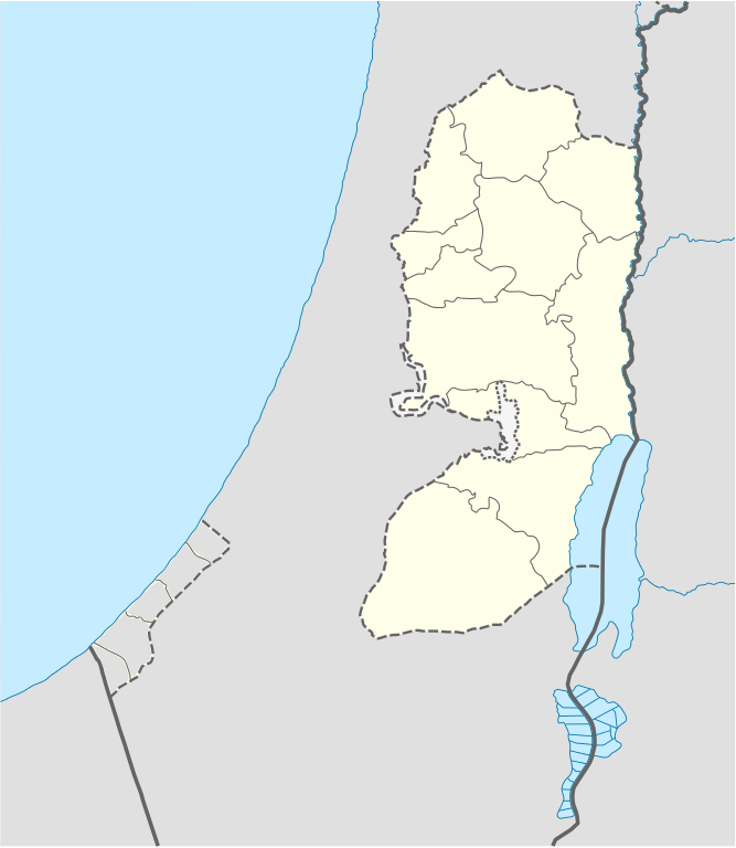
Deutsch: Positionskarte des Westjordanlandes
Quadratische Plattkarte, N-S-Streckung 115 %. Geographische Begrenzung der Karte:
English: Location map of the West Bank
Equirectangular projection, N/S stretching 115 %. Geographic limits of the map:
|
| วันที่ | |
| แหล่งที่มา |
own work, using
|
| ผู้สร้างสรรค์ | NordNordWest, little changes made by Obersachse |

|
แผนที่นี้ถูกสร้างหรือพัฒนาขึ้นจาก Kartenwerkstatt (ห้องปฏิบัติการแผนที่) ของวิกิพีเดียภาษาเยอรมัน ซึ่งคุณสามารถเสนอแผนที่เพื่อพัฒนาได้เช่นเดียวกัน
|
การอนุญาตใช้สิทธิ
ข้าพเจ้า ในฐานะผู้ถือลิขสิทธิ์ของภาพหรือสื่อนี้ อนุญาตให้ใช้ภาพหรือสื่อนี้ภายใต้เงื่อนไขต่อไปนี้

|
อนุญาตให้คัดลอก แจกจ่ายและ/หรือดัดแปรเอกสารนี้ภายใต้เงื่อนไขของสัญญาอนุญาตเอกสารเสรีของกนู รุ่น 1.2 หรือรุ่นใด ๆ นับจากนี้ที่ออกโดยมูลนิธิซอฟต์แวร์เสรี โดยไม่มีส่วนใดห้ามแก้ไข ไม่มีข้อความปกหน้าและปกหลัง สำเนาของสัญญาอนุญาตรวมอยู่ในส่วนชื่อ สัญญาอนุญาตเอกสารเสรีของกนู |
ไฟล์นี้อยู่ภายใต้สัญญาอนุญาต ครีเอทีฟคอมมอนส์ แบบแสดงที่มา-อนุญาตแบบเดียวกัน 3.0 ต้นฉบับ
- คุณสามารถ:
- ที่จะแบ่งปัน – ที่จะทำสำเนา แจกจ่าย และส่งงานดังกล่าวต่อไป
- ที่จะเรียบเรียงใหม่ – ที่จะดัดแปลงงานดังกล่าว
- ภายใต้เงื่อนไขต่อไปนี้:
- แสดงที่มา – คุณต้องให้เกียรติเจ้าของงานอย่างเหมาะสม โดยเพิ่มลิงก์ไปยังสัญญาอนุญาต และระบุหากมีการเปลี่ยนแปลง คุณอาจทำเช่นนี้ได้ในรูปแบบใดก็ได้ตามควร แต่ต้องไม่ใช่ในลักษณะที่แนะว่าผู้ให้อนุญาตสนับสนุนคุณหรือการใช้งานของคุณ
- อนุญาตแบบเดียวกัน – หากคุณดัดแปลง เปลี่ยนรูป หรือต่อเติมงานนี้ คุณต้องใช้สัญญาอนุญาตแบบเดียวกันหรือแบบที่เหมือนกับสัญญาอนุญาตที่ใช้กับงานนี้เท่านั้น
คุณสามารถเลือกสัญญาอนุญาตดังกล่าวตามต้องการ
ประวัติไฟล์
คลิกวันที่/เวลาเพื่อดูไฟล์ที่ปรากฏในขณะนั้น
| วันที่/เวลา | รูปย่อ | ขนาด | ผู้ใช้ | ความเห็น | |
|---|---|---|---|---|---|
| ปัจจุบัน | 00:02, 7 กันยายน 2553 | | 639 × 736 (106 กิโลไบต์) | Obersachse | == {{int:filedesc}} == {{Information |Description= {{de|Positionskarte des Westjordanlandes}} Quadratische Plattkarte, N-S-Streckung 115 %. Geographische Begrenzung der Karte: * N: 32.7° N * S: 30.9° N * W: 34.0° O * O: 35.8° O {{en|Location map of th |
หน้าที่มีภาพนี้
หน้าต่อไปนี้ โยงมาที่ภาพนี้:
การใช้ไฟล์ข้ามโครงการ
วิกิอื่นต่อไปนี้ใช้ไฟล์นี้:
- การใช้บน ar.wikipedia.org
- การใช้บน ba.wikipedia.org
- การใช้บน bn.wikipedia.org
- การใช้บน bs.wikipedia.org
- การใช้บน ceb.wikipedia.org
- การใช้บน ckb.wikipedia.org
- การใช้บน da.wikipedia.org
- การใช้บน de.wikipedia.org
- การใช้บน el.wikipedia.org
- การใช้บน en.wikipedia.org
- Bethlehem
- Cave of the Patriarchs
- Latrun
- Shechem
- Mamre
- Operation Defensive Shield
- Et-Tell
- Beitar Illit
- Ma'ale Adumim
- Ariel (Israeli settlement)
- Shiloh (biblical city)
- Gibeon (ancient city)
- Timnath-heres
- Ramathaim-Zophim
- Mount Gerizim
- Qalqilya
- Modi'in Illit
- Tubas (city)
- Jerusalem International Airport
- Cave of the Patriarchs massacre
- Jacob's Well
- Beit Sahour
- Battir
- Betar (ancient village)
- Mount Ebal
- Abu Dis
- Beth-zur
- Birzeit
- Al-Bireh
- Ofra
- Kedumim
ดูการใช้ข้ามโครงการเพิ่มเติมของไฟล์นี้