
ไฟล์:Europe continents.svg

ขนาดของตัวอย่าง PNG นี้ของไฟล์ SVG นี้: 800 × 520 พิกเซล ความละเอียดอื่น: 320 × 208 พิกเซล | 640 × 416 พิกเซล | 1,024 × 666 พิกเซล | 1,280 × 832 พิกเซล | 2,560 × 1,664 พิกเซล
ดูภาพที่มีความละเอียดสูงกว่า ((ไฟล์ SVG, 800 × 520 พิกเซล, ขนาดไฟล์: 356 กิโลไบต์))
| รูปภาพหรือไฟล์เสียงนี้ ต้นฉบับอยู่ที่ คอมมอนส์ รายละเอียดด้านล่าง เป็นข้อความที่แสดงผลจาก ไฟล์ต้นฉบับในคอมมอนส์
|
ความย่อ
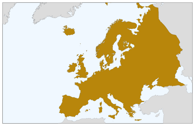
| คำอธิบาย | Blank map of Europe, showing only the continents. SVG format. |
| วันที่ | |
| แหล่งที่มา |
This file was derived from: Europe countries.svg:  |
| ผู้สร้างสรรค์ | Júlio Reis |
การอนุญาตใช้สิทธิ
ไฟล์นี้อยู่ภายใต้สัญญาอนุญาต ครีเอทีฟคอมมอนส์ แบบแสดงที่มา-อนุญาตแบบเดียวกัน 3.0 ต้นฉบับ
- คุณสามารถ:
- ที่จะแบ่งปัน – ที่จะทำสำเนา แจกจ่าย และส่งงานดังกล่าวต่อไป
- ที่จะเรียบเรียงใหม่ – ที่จะดัดแปลงงานดังกล่าว
- ภายใต้เงื่อนไขต่อไปนี้:
- แสดงที่มา – คุณต้องให้เกียรติเจ้าของงานอย่างเหมาะสม โดยเพิ่มลิงก์ไปยังสัญญาอนุญาต และระบุหากมีการเปลี่ยนแปลง คุณอาจทำเช่นนี้ได้ในรูปแบบใดก็ได้ตามควร แต่ต้องไม่ใช่ในลักษณะที่แนะว่าผู้ให้อนุญาตสนับสนุนคุณหรือการใช้งานของคุณ
- อนุญาตแบบเดียวกัน – หากคุณดัดแปลง เปลี่ยนรูป หรือต่อเติมงานนี้ คุณต้องใช้สัญญาอนุญาตแบบเดียวกันหรือแบบที่เหมือนกับสัญญาอนุญาตที่ใช้กับงานนี้เท่านั้น
ประวัติไฟล์
คลิกวันที่/เวลาเพื่อดูไฟล์ที่ปรากฏในขณะนั้น
| วันที่/เวลา | รูปย่อ | ขนาด | ผู้ใช้ | ความเห็น | |
|---|---|---|---|---|---|
| ปัจจุบัน | 15:04, 5 กันยายน 2565 | | 800 × 520 (356 กิโลไบต์) | Рагин1987 | Correction |
| 02:35, 31 สิงหาคม 2565 |  | 2,560 × 1,664 (496 กิโลไบต์) | Рагин1987 | More correct visualization of the dividing line on the territory of the Caucasus Range | |
| 17:50, 23 พฤษภาคม 2549 |  | 800 × 520 (305 กิโลไบต์) | Tintazul | {{Tintazul| |Description=Blank map of Europe, showing only the continents. SVG format. |Date=19 May 2006 |Source=Image:Europe countries.svg }} Category:Maps of Europe |
หน้าที่มีภาพนี้
ไม่มีหน้าใดโยงมาที่ภาพนี้
การใช้ไฟล์ข้ามโครงการ
วิกิอื่นต่อไปนี้ใช้ไฟล์นี้:
- การใช้บน sv.wikipedia.org