
ไฟล์:DziDzernagapert - eternal flame.jpg

ขนาดของตัวอย่างนี้: 800 × 534 พิกเซล ความละเอียดอื่น: 320 × 213 พิกเซล | 640 × 427 พิกเซล | 1,024 × 683 พิกเซล | 1,280 × 854 พิกเซล | 2,560 × 1,708 พิกเซล | 4,063 × 2,710 พิกเซล
ดูภาพที่มีความละเอียดสูงกว่า (4,063 × 2,710 พิกเซล, ขนาดไฟล์: 4.49 เมกะไบต์, ชนิดไมม์: image/jpeg)
| รูปภาพหรือไฟล์เสียงนี้ ต้นฉบับอยู่ที่ คอมมอนส์ รายละเอียดด้านล่าง เป็นข้อความที่แสดงผลจาก ไฟล์ต้นฉบับในคอมมอนส์
|
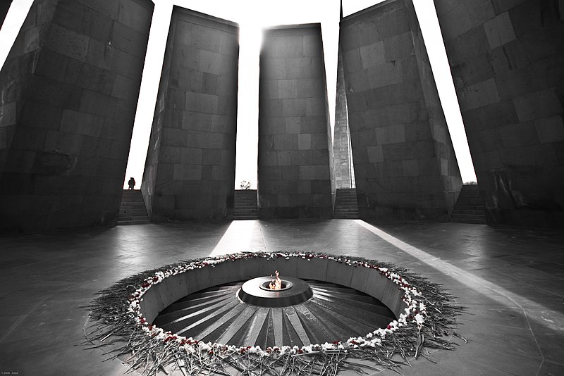
| คำอธิบาย | The eternal flame at Dzidzernagapert. Dzidzernagapert is the Armenian Genocide memorial in Armenia. This place represents so much for a lot of Armenians that I couldn't missed it... | ||||
| วันที่ | |||||
| แหล่งที่มา | originally posted to Flickr as DziDzernagapert | ||||
| ผู้สร้างสรรค์ | z@doune | ||||
| การอนุญาต (การใช้ไฟล์นี้ใหม่) |
ไฟล์นี้อยู่ภายใต้สัญญาอนุญาตครีเอทีฟคอมมอนส์ รุ่น แสดงที่มา 2.0 ทั่วไป
|
| ตำแหน่งที่ตั้งกล้อง | | ภาพนี้และภาพอื่น ๆ ณ สถานที่เดียวกันที่ OpenStreetMap |
|---|
| Annotations | This image is annotated: View the annotations at Commons |
ประวัติไฟล์
คลิกวันที่/เวลาเพื่อดูไฟล์ที่ปรากฏในขณะนั้น
| วันที่/เวลา | รูปย่อ | ขนาด | ผู้ใช้ | ความเห็น | |
|---|---|---|---|---|---|
| ปัจจุบัน | 10:25, 22 มิถุนายน 2552 | | 4,063 × 2,710 (4.49 เมกะไบต์) | Flickr upload bot | Uploaded from http://flickr.com/photo/26595262@N05/2961695615 using Flickr upload bot |
หน้าที่มีภาพนี้
หน้าต่อไปนี้ โยงมาที่ภาพนี้:
การใช้ไฟล์ข้ามโครงการ
วิกิอื่นต่อไปนี้ใช้ไฟล์นี้:
- การใช้บน en.wikipedia.org
- การใช้บน eo.wikipedia.org
- การใช้บน et.wikipedia.org
- การใช้บน hy.wikipedia.org
- การใช้บน hyw.wikipedia.org
- การใช้บน ro.wikipedia.org