
ไฟล์:Dumfries and Galloway UK location map.svg

ขนาดของตัวอย่าง PNG นี้ของไฟล์ SVG นี้: 800 × 544 พิกเซล ความละเอียดอื่น: 320 × 218 พิกเซล | 640 × 435 พิกเซล | 1,024 × 696 พิกเซล | 1,280 × 870 พิกเซล | 2,560 × 1,741 พิกเซล | 1,425 × 969 พิกเซล
ดูภาพที่มีความละเอียดสูงกว่า ((ไฟล์ SVG, 1,425 × 969 พิกเซล, ขนาดไฟล์: 1.97 เมกะไบต์))
| รูปภาพหรือไฟล์เสียงนี้ ต้นฉบับอยู่ที่ คอมมอนส์ รายละเอียดด้านล่าง เป็นข้อความที่แสดงผลจาก ไฟล์ต้นฉบับในคอมมอนส์
|
| คำอธิบาย |
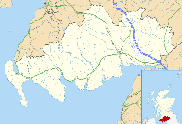
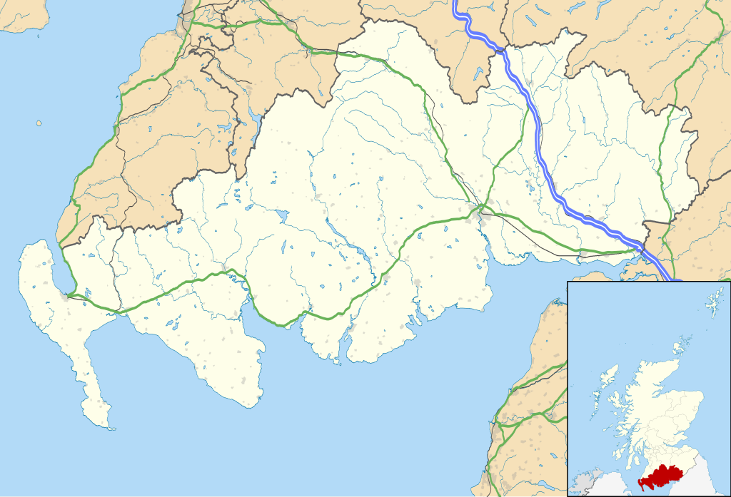
Blank map of Dumfries and Galloway, UK with the following information shown:
Equirectangular map projection on WGS 84 datum, with N/S stretched 170% Geographic limits:
|
| วันที่ | |
| แหล่งที่มา |
|
| ผู้สร้างสรรค์ | Nilfanion, created using Ordnance Survey data |
| การอนุญาต (การใช้ไฟล์นี้ใหม่) |
ไฟล์นี้อยู่ภายใต้สัญญาอนุญาต ครีเอทีฟคอมมอนส์ แบบแสดงที่มา-อนุญาตแบบเดียวกัน 3.0 ต้นฉบับ การแสดงที่มา: Contains Ordnance Survey data © Crown copyright and database right
|
| เวอร์ชันอื่น | File:Dumfries and Galloway UK blank map.svg - Blank map |
ประวัติไฟล์
คลิกวันที่/เวลาเพื่อดูไฟล์ที่ปรากฏในขณะนั้น
| วันที่/เวลา | รูปย่อ | ขนาด | ผู้ใช้ | ความเห็น | |
|---|---|---|---|---|---|
| ปัจจุบัน | 03:07, 27 กันยายน 2553 | | 1,425 × 969 (1.97 เมกะไบต์) | Nilfanion | {{Information |Description=Blank map of Dumfries and Galloway, UK with the following information shown: *Administrative borders *Coastline, lakes and rivers *Roads and railways *Urban areas Equirectangular map projection on WG |
หน้าที่มีภาพนี้
หน้าต่อไปนี้ โยงมาที่ภาพนี้:
การใช้ไฟล์ข้ามโครงการ
วิกิอื่นต่อไปนี้ใช้ไฟล์นี้:
- การใช้บน ar.wikipedia.org
- การใช้บน bg.wikipedia.org
- การใช้บน ceb.wikipedia.org
- การใช้บน de.wikipedia.org
- การใช้บน en.wikipedia.org
- Dumfries
- Caerlaverock Castle
- Dumfries and Galloway
- Ruthwell
- Ecclefechan
- Wigtown
- Sanquhar
- Stranraer
- Gretna Green
- Kirkcudbright
- Castle Douglas
- Moniaive
- List of monastic houses in Scotland
- Thornhill, Dumfries and Galloway
- Whithorn
- Isle of Whithorn
- Newton Stewart
- Langholm
- Gretna, Dumfries and Galloway
- Lochans, Dumfries and Galloway
- Port William, Dumfries and Galloway
- Mull of Galloway
- Kagyu Samye Ling Monastery and Tibetan Centre
- Dalbeattie
- Portpatrick
- Ae, Dumfries and Galloway
- New Galloway
- Kirkconnel
- Sandhead
- Tongland
- Annan, Dumfries and Galloway
- Penpont
- Drummore
ดูการใช้ข้ามโครงการเพิ่มเติมของไฟล์นี้