
ไฟล์:Autobahn Notlandeplatz A29 Ahlhorn DoD DF-ST-85-05075.jpg
ขนาดของตัวอย่างนี้: 434 × 599 พิกเซล ความละเอียดอื่น: 174 × 240 พิกเซล | 348 × 480 พิกเซล | 556 × 768 พิกเซล | 742 × 1,024 พิกเซล | 1,878 × 2,593 พิกเซล
ดูภาพที่มีความละเอียดสูงกว่า (1,878 × 2,593 พิกเซล, ขนาดไฟล์: 3.36 เมกะไบต์, ชนิดไมม์: image/jpeg)
| รูปภาพหรือไฟล์เสียงนี้ ต้นฉบับอยู่ที่ คอมมอนส์ รายละเอียดด้านล่าง เป็นข้อความที่แสดงผลจาก ไฟล์ต้นฉบับในคอมมอนส์
|
ความย่อ
| คำอธิบาย |
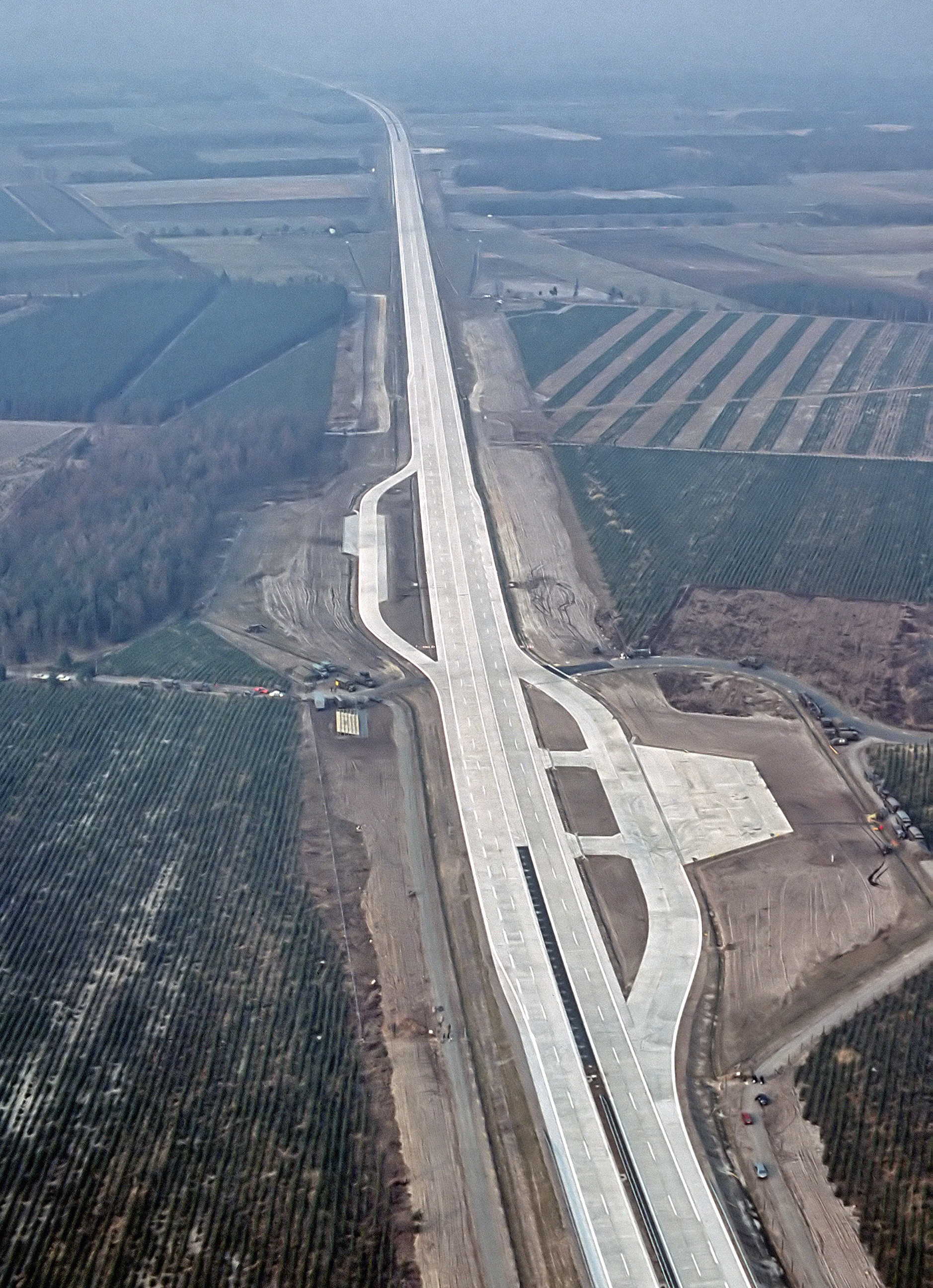
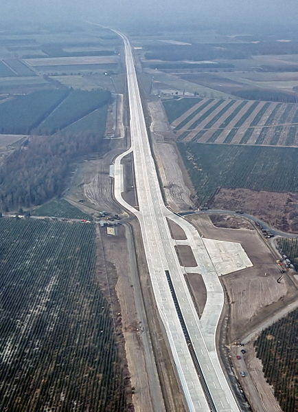
English: An aerial view of the autobahn A29 near Ahlhorn, Germany. Construction of A29 completed in 1984, the emergency-runway had been in the initial design. The highway had been cleared of traffic to allow it to be used to land aircraft during NATO exercise "highway 84".
Deutsch: Luftbild der Bundesautobahn A29 in der Nähe von Ahlhorn im Jahr ihrer Fertigstellung. Im Rahmen der Nato-Übung "Highway 84" wurde der Notlandeplatz genutzt. |
|||
| วันที่ | ||||
| แหล่งที่มา |
|
|||
| ผู้สร้างสรรค์ | TSgt. Rod Prouty, USAF | |||
| การอนุญาต (การใช้ไฟล์นี้ใหม่) |
Released to Public Photo ID:DF-ST-85-05075 |
| ตำแหน่งที่ตั้งกล้อง | | ภาพนี้และภาพอื่น ๆ ณ สถานที่เดียวกันที่ OpenStreetMap |
|---|
การอนุญาตใช้สิทธิ
This image or file is a work of a U.S. Air Force Airman or employee, taken or made as part of that person's official duties. As a work of the U.S. federal government, the image or file is in the public domain in the United States.
|
 |
ประวัติไฟล์
คลิกวันที่/เวลาเพื่อดูไฟล์ที่ปรากฏในขณะนั้น
| วันที่/เวลา | รูปย่อ | ขนาด | ผู้ใช้ | ความเห็น | |
|---|---|---|---|---|---|
| ปัจจุบัน | 13:12, 4 สิงหาคม 2550 | | 1,878 × 2,593 (3.36 เมกะไบต์) | -jha- | {{Information |Description={{en|An aerial view of the autobahn A29 near Ahlhorn. construction of A29 just completed in 1984, the emergency-runway has been in the initial design. The highway has been cleared of traffic to allow it to be used to land aircr |
หน้าที่มีภาพนี้
หน้าต่อไปนี้ โยงมาที่ภาพนี้:
การใช้ไฟล์ข้ามโครงการ
วิกิอื่นต่อไปนี้ใช้ไฟล์นี้:
- การใช้บน de.wikipedia.org
- การใช้บน de.wikivoyage.org
- การใช้บน en.wikipedia.org
- การใช้บน fa.wikipedia.org
- การใช้บน fr.wikipedia.org
- การใช้บน fy.wikipedia.org
- การใช้บน he.wikipedia.org
- การใช้บน hu.wikipedia.org
- การใช้บน it.wikipedia.org
- การใช้บน ja.wikipedia.org
- การใช้บน nds.wikipedia.org
- การใช้บน nl.wikipedia.org
- การใช้บน pl.wikipedia.org
- การใช้บน sv.wikipedia.org
- การใช้บน tr.wikipedia.org
- การใช้บน zh.wikipedia.org