
ไฟล์:Žilina Region - background map.png

ขนาดของตัวอย่างนี้: 778 × 600 พิกเซล ความละเอียดอื่น: 311 × 240 พิกเซล | 623 × 480 พิกเซล | 996 × 768 พิกเซล | 1,222 × 942 พิกเซล
ดูภาพที่มีความละเอียดสูงกว่า (1,222 × 942 พิกเซล, ขนาดไฟล์: 1.43 เมกะไบต์, ชนิดไมม์: image/png)
| รูปภาพหรือไฟล์เสียงนี้ ต้นฉบับอยู่ที่ คอมมอนส์ รายละเอียดด้านล่าง เป็นข้อความที่แสดงผลจาก ไฟล์ต้นฉบับในคอมมอนส์
|
ความย่อ
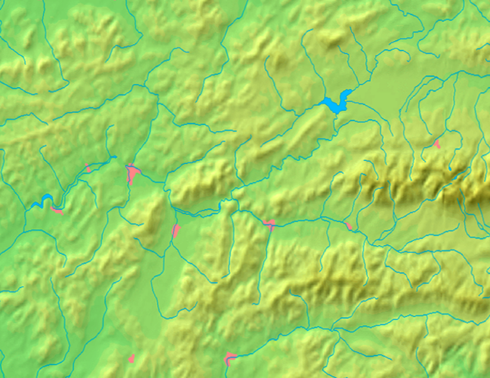
| คำอธิบาย | Background map of the Žilina Region, Slovakia, for Geoboxes, the same boundaries as Image:Žilina Region with districts map.svg | ||||
| วันที่ | |||||
| แหล่งที่มา | Made my myself from free maps available at www.demis.nl | ||||
| ผู้สร้างสรรค์ | Caroig | ||||
| การอนุญาต (การใช้ไฟล์นี้ใหม่) |
|
||||
| เวอร์ชันอื่น | ไฟล์อื่นที่ใช้ไฟล์นี้: Žilina Region - physical map.png |
ประวัติไฟล์
คลิกวันที่/เวลาเพื่อดูไฟล์ที่ปรากฏในขณะนั้น
| วันที่/เวลา | รูปย่อ | ขนาด | ผู้ใช้ | ความเห็น | |
|---|---|---|---|---|---|
| ปัจจุบัน | 02:10, 9 กันยายน 2550 | | 1,222 × 942 (1.43 เมกะไบต์) | Caroig | better version |
| 01:05, 9 กันยายน 2550 |  | 1,527 × 1,177 (1.19 เมกะไบต์) | Caroig | better align | |
| 23:59, 3 กันยายน 2550 |  | 1,357 × 1,046 (1.18 เมกะไบต์) | Caroig | == Summary == {{Information |Description=Background map of the Žilina Region, Slovakia, for Geoboxes, the same boundaries as Image:Žilina Region with districts map.svg |Source=Made my myself from free maps available at www.d |
หน้าที่มีภาพนี้
หน้าต่อไปนี้ โยงมาที่ภาพนี้:
การใช้ไฟล์ข้ามโครงการ
วิกิอื่นต่อไปนี้ใช้ไฟล์นี้:
- การใช้บน en.wikipedia.org
- การใช้บน eo.wikipedia.org
- Granda Fatro
- Distrikto Turčianske Teplice
- Ŝablono:Geokesto/dokumentado
- Ŝablono:Geokesto
- Ŝablono:Geokesto2 simboloj
- Malgranda Fatro
- Ŝablono:Geokesto2
- Uzanto:Tlustulimu/geokesto2
- Ŝablono:Geokesto2/dokumentado
- Ŝablono:Geokesto3
- Ŝablono:Geokesto3/dokumentado
- Vikipedio:Lua/Moduloj/Geografiaĵoj/testoj/geokesto
- Ŝablono:Informkesto geografiaĵo/orografio
- การใช้บน fa.wikipedia.org
- การใช้บน fr.wikipedia.org
- การใช้บน hu.wikipedia.org
- การใช้บน mk.wikipedia.org
- การใช้บน ml.wikipedia.org
- การใช้บน ms.wikipedia.org
- การใช้บน sco.wikipedia.org
- การใช้บน simple.wikipedia.org
- การใช้บน si.wikipedia.org
- การใช้บน sk.wikipedia.org
ดูการใช้ข้ามโครงการเพิ่มเติมของไฟล์นี้