
ไฟล์:Aerial view of the Central Intelligence Agency headquarters, Langley, Virginia - Corrected and Cropped.jpg
ขนาดของตัวอย่างนี้: 800 × 356 พิกเซล ความละเอียดอื่น: 320 × 142 พิกเซล | 640 × 284 พิกเซล | 1,024 × 455 พิกเซล | 1,280 × 569 พิกเซล | 2,560 × 1,138 พิกเซล | 5,523 × 2,455 พิกเซล
ดูภาพที่มีความละเอียดสูงกว่า (5,523 × 2,455 พิกเซล, ขนาดไฟล์: 7.57 เมกะไบต์, ชนิดไมม์: image/jpeg)
| รูปภาพหรือไฟล์เสียงนี้ ต้นฉบับอยู่ที่ คอมมอนส์ รายละเอียดด้านล่าง เป็นข้อความที่แสดงผลจาก ไฟล์ต้นฉบับในคอมมอนส์
|
ความย่อ
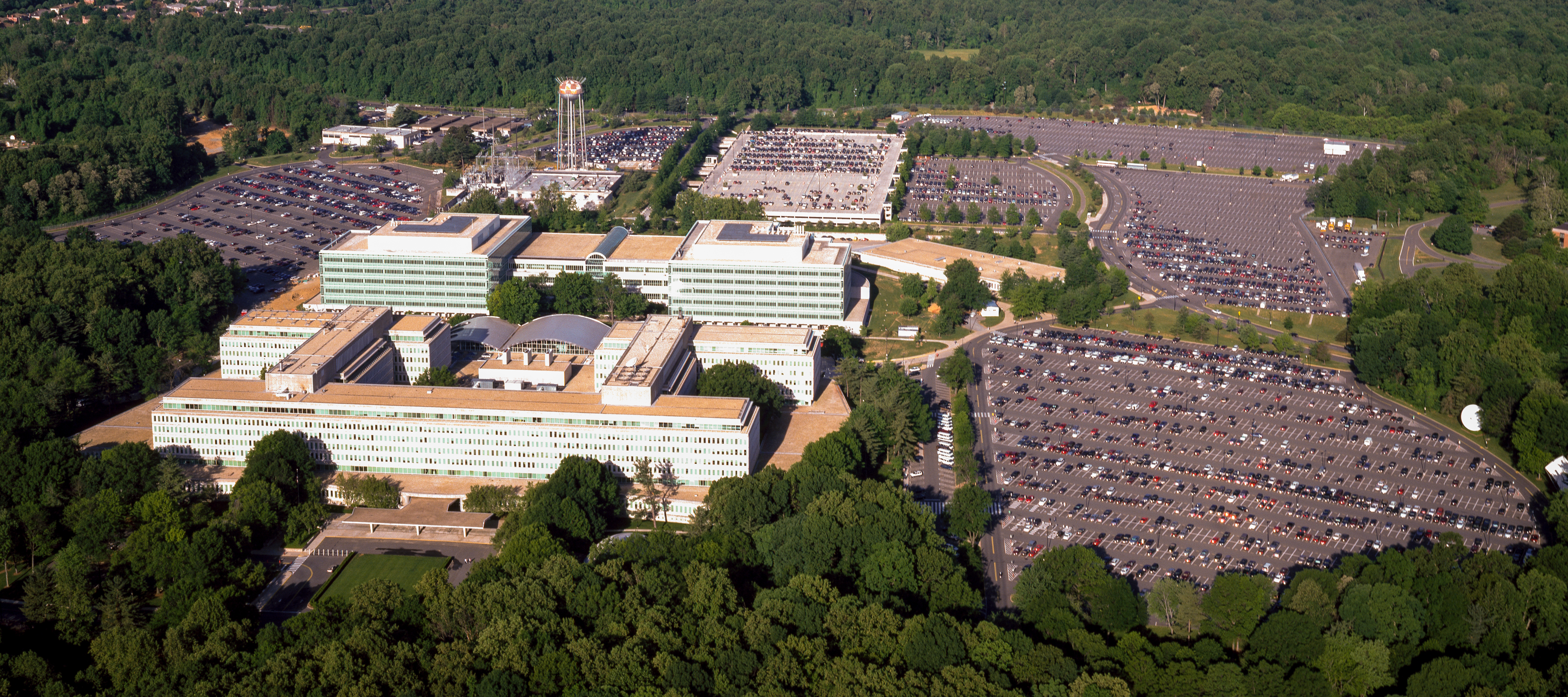
| Aerial view of the Central Intelligence Agency headquarters, Langley, Virginia
( |
|||||||||||||||||||||||||||
|---|---|---|---|---|---|---|---|---|---|---|---|---|---|---|---|---|---|---|---|---|---|---|---|---|---|---|---|
| ผู้สร้างสรรค์ |
|
||||||||||||||||||||||||||
| ชื่อเรื่อง |
Aerial view of the Central Intelligence Agency headquarters, Langley, Virginia |
||||||||||||||||||||||||||
| Depicted place | Central Intelligence Agency headquarters | ||||||||||||||||||||||||||
| วันที่ | พ.ศ. 2523 - พ.ศ. 2549 | ||||||||||||||||||||||||||
| สื่อที่เผยแพร่ | 1 transparency : color | ||||||||||||||||||||||||||
| ขนาด | 4 x 5 in. or smaller. | ||||||||||||||||||||||||||
| การเก็บรวบรวม |
|
||||||||||||||||||||||||||
| ตำแหน่งที่อยู่ |
Prints and Photographs Division http://hdl.loc.gov/loc.pnp/pp.print |
||||||||||||||||||||||||||
| หมายเหตุ |
|
||||||||||||||||||||||||||
| แหล่งที่มา |
|
||||||||||||||||||||||||||
| การอนุญาต (การใช้ไฟล์นี้ใหม่) |
Rights Advisory: No known restrictions on publication. | ||||||||||||||||||||||||||
| เวอร์ชันอื่น |
|
||||||||||||||||||||||||||


| | ภาพนี้และภาพอื่น ๆ ณ สถานที่เดียวกันที่ OpenStreetMap |
การอนุญาตใช้สิทธิ
| This work is from the Carol M. Highsmith Archive collection at the Library of Congress. According to the library, there are no known copyright restrictions on the use of this work. Carol M. Highsmith has stipulated that her photographs are in the public domain. Photographs of sculpture or other works of art may be restricted by the copyright of the artist. |
 |
ประวัติไฟล์
คลิกวันที่/เวลาเพื่อดูไฟล์ที่ปรากฏในขณะนั้น
| วันที่/เวลา | รูปย่อ | ขนาด | ผู้ใช้ | ความเห็น | |
|---|---|---|---|---|---|
| ปัจจุบัน | 23:17, 22 เมษายน 2560 | | 5,523 × 2,455 (7.57 เมกะไบต์) | Falcorian | User created page with UploadWizard |
หน้าที่มีภาพนี้
ไม่มีหน้าใดโยงมาที่ภาพนี้
การใช้ไฟล์ข้ามโครงการ
วิกิอื่นต่อไปนี้ใช้ไฟล์นี้:
- การใช้บน ar.wikipedia.org
- การใช้บน arz.wikipedia.org
- การใช้บน ast.wikipedia.org
- การใช้บน azb.wikipedia.org
- การใช้บน az.wikipedia.org
- การใช้บน br.wikipedia.org
- การใช้บน ca.wikipedia.org
- การใช้บน ce.wikipedia.org
- การใช้บน cs.wikipedia.org
- การใช้บน cy.wikipedia.org
- การใช้บน da.wikipedia.org
- การใช้บน de.wikipedia.org
- การใช้บน en.wikipedia.org
- การใช้บน eo.wikipedia.org
- การใช้บน eo.wikiquote.org
- การใช้บน es.wikipedia.org
- การใช้บน fi.wikipedia.org
- การใช้บน fr.wikipedia.org
- การใช้บน fr.wikinews.org
- การใช้บน ga.wikipedia.org
- การใช้บน ha.wikipedia.org
- การใช้บน he.wikipedia.org
- การใช้บน hu.wikipedia.org
- การใช้บน id.wikipedia.org
- การใช้บน it.wikipedia.org
- การใช้บน ja.wikipedia.org
- การใช้บน ko.wikipedia.org
- การใช้บน ky.wikipedia.org
- การใช้บน lt.wikipedia.org
- การใช้บน lv.wikipedia.org
- การใช้บน mn.wikipedia.org
- การใช้บน ne.wikipedia.org
- การใช้บน nn.wikipedia.org
- การใช้บน no.wikipedia.org
- การใช้บน ro.wikipedia.org
- การใช้บน ru.wikipedia.org
- การใช้บน ru.wikinews.org
ดูการใช้ข้ามโครงการเพิ่มเติมของไฟล์นี้