
ไฟล์:OpenStreetMap Cape Town small.svg

ขนาดของตัวอย่าง PNG นี้ของไฟล์ SVG นี้: 496 × 399 พิกเซล ความละเอียดอื่น: 298 × 240 พิกเซล | 597 × 480 พิกเซล | 955 × 768 พิกเซล | 1,273 × 1,024 พิกเซล | 2,546 × 2,048 พิกเซล
ดูภาพที่มีความละเอียดสูงกว่า ((ไฟล์ SVG, 496 × 399 พิกเซล, ขนาดไฟล์: 10.71 เมกะไบต์))
| รูปภาพหรือไฟล์เสียงนี้ ต้นฉบับอยู่ที่ คอมมอนส์ รายละเอียดด้านล่าง เป็นข้อความที่แสดงผลจาก ไฟล์ต้นฉบับในคอมมอนส์
|
| คำอธิบาย |
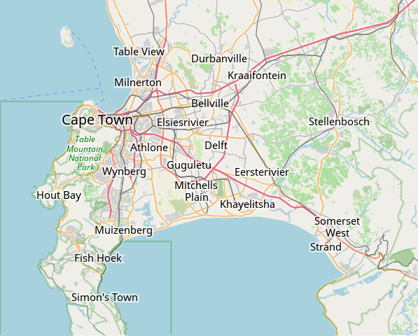
This map of Cape Town was created from OpenStreetMap project data, collected by the community. This map may be incomplete, and may contain errors. Don't rely solely on it for navigation. |
|||||||||
| วันที่ | (see file history) | |||||||||
| แหล่งที่มา | openstreetmap.org | |||||||||
| ผู้สร้าง |
OpenStreetMap contributors |
|||||||||
| การอนุญาต (การใช้ไฟล์นี้ใหม่) |
OpenStreetMap data is available under the Open Database License (details). Map tiles are licensed under the Creative Commons Attribution-ShareAlike 2.0 license (CC-BY-SA 2.0).
ไฟล์นี้อยู่ภายใต้สัญญาอนุญาต ครีเอทีฟคอมมอนส์ แบบแสดงที่มา-อนุญาตแบบเดียวกัน 2.0 ทั่วไป
|
|||||||||
| Geotemporal data | ||||||||||
| ขอบเขต |
|
|||||||||
| พิกัดอ้างอิงทางภูมิศาสตร์ | ถ้ามีความไม่เหมาะสม กรุณาตั้ง warp_status = skip เพื่อซ่อน | |||||||||
derivative works
ไฟล์อื่นที่ใช้ไฟล์นี้: OpenStreetMap Kaapstad klein Afrikaans.svg
ประวัติไฟล์
คลิกวันที่/เวลาเพื่อดูไฟล์ที่ปรากฏในขณะนั้น
| วันที่/เวลา | รูปย่อ | ขนาด | ผู้ใช้ | ความเห็น | |
|---|---|---|---|---|---|
| ปัจจุบัน | 16:11, 16 มกราคม 2565 | | 496 × 399 (10.71 เมกะไบต์) | Htonl | customize labels |
| 15:27, 16 มกราคม 2565 |  | 496 × 399 (12.15 เมกะไบต์) | Htonl | update | |
| 14:12, 12 มกราคม 2554 |  | 424 × 351 (1.71 เมกะไบต์) | Htonl | *tiny* tweak | |
| 14:07, 12 มกราคม 2554 |  | 424 × 351 (1.72 เมกะไบต์) | Htonl | bounds | |
| 23:36, 3 กุมภาพันธ์ 2553 |  | 496 × 399 (2.36 เมกะไบต์) | Htonl | {{OpenStreetMap|location=Cape Town}} Category:OpenStreetMap maps of South Africa |
หน้าที่มีภาพนี้
หน้าต่อไปนี้ โยงมาที่ภาพนี้:
การใช้ไฟล์ข้ามโครงการ
วิกิอื่นต่อไปนี้ใช้ไฟล์นี้:
- การใช้บน af.wikipedia.org
- Constantia
- Steenberg
- Athlone
- Bo-Kaap
- Table View
- Goodwood
- Pinelands
- Strand, Wes-Kaap
- Nuweland
- Wynberg
- Rondebosch
- Rosebank, Kaapstad
- Claremont, Kaapstad
- Mowbray
- Zwaanswyk
- Kaapstad Internasionale Lughawe
- Maitland
- Seepunt
- Drieankerbaai
- Brackenfell
- Observatory
- Soutrivier
- Woodstock
- Plumstead
- Llandudno
- Bergvliet
- Bishopscourt
- Heathfield
- Monte Vista
- Lansdowne
- Milnerton
- Kalkbaai
- Noordhoek
- Oranjezicht
- Tamboerskloof
- Hoërskool Durbanville
- Belhar
- Kampsbaai
- Higgovale
- Vredehoek
- Clifton
- Schotsche Kloof
- Zonnebloem
- Mouillepunt
- Elsiesrivier
- Bantrybaai
- Blue Downs
- Crawford
- Ottery
- Mfuleni
ดูการใช้ข้ามโครงการเพิ่มเติมของไฟล์นี้