
ไฟล์:Newport UK location map.svg

ขนาดของตัวอย่าง PNG นี้ของไฟล์ SVG นี้: 693 × 600 พิกเซล ความละเอียดอื่น: 277 × 240 พิกเซล | 555 × 480 พิกเซล | 888 × 768 พิกเซล | 1,184 × 1,024 พิกเซล | 2,367 × 2,048 พิกเซล | 1,425 × 1,233 พิกเซล
ดูภาพที่มีความละเอียดสูงกว่า ((ไฟล์ SVG, 1,425 × 1,233 พิกเซล, ขนาดไฟล์: 577 กิโลไบต์))
| รูปภาพหรือไฟล์เสียงนี้ ต้นฉบับอยู่ที่ คอมมอนส์ รายละเอียดด้านล่าง เป็นข้อความที่แสดงผลจาก ไฟล์ต้นฉบับในคอมมอนส์
|
| คำอธิบาย |
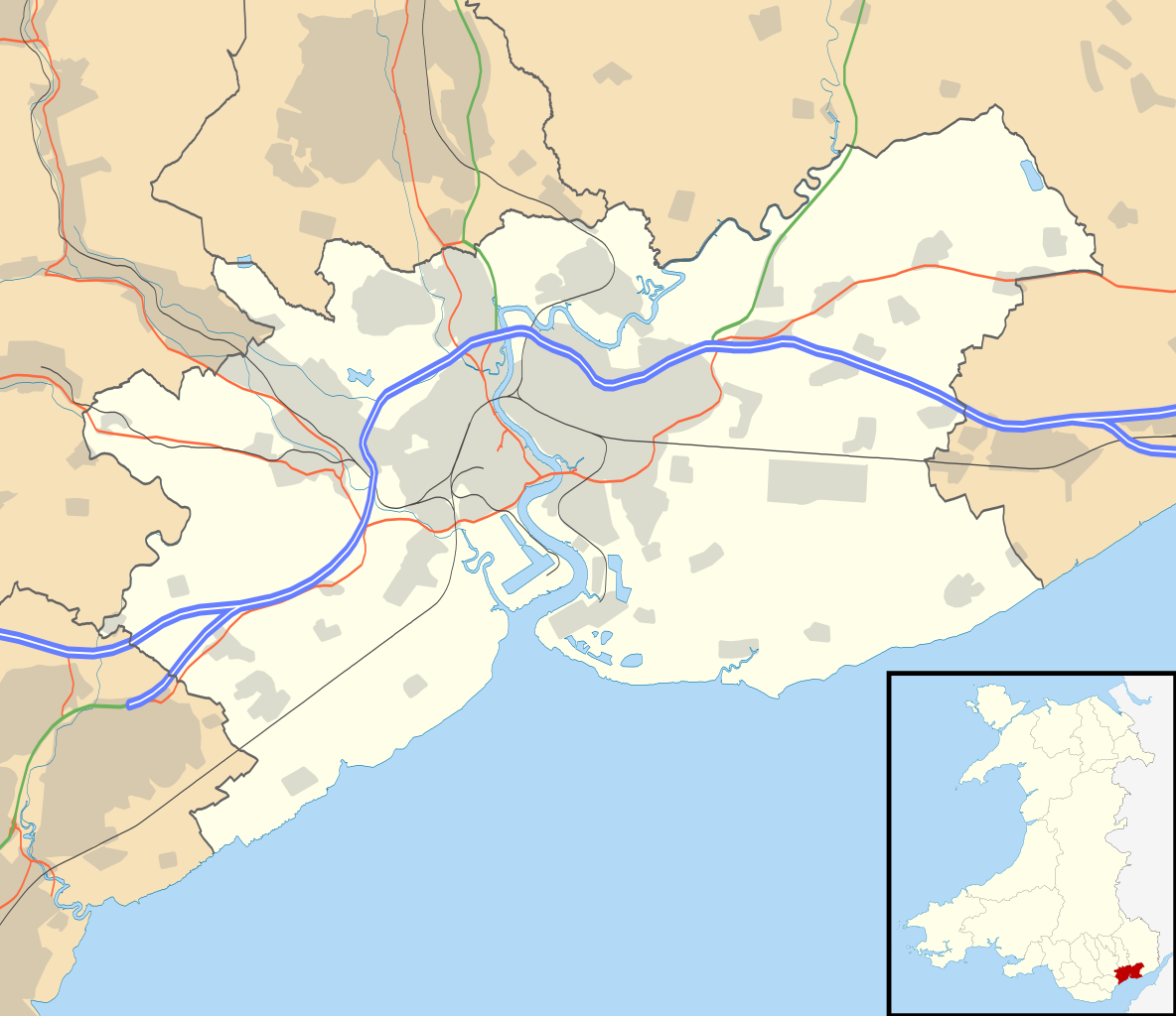
Blank map of Newport, UK with the following information shown:
Equirectangular map projection on WGS 84 datum, with N/S stretched 160% Geographic limits:
|
| วันที่ | |
| แหล่งที่มา |
|
| ผู้สร้างสรรค์ | Nilfanion, created using Ordnance Survey data |
| การอนุญาต (การใช้ไฟล์นี้ใหม่) |
ไฟล์นี้อยู่ภายใต้สัญญาอนุญาต ครีเอทีฟคอมมอนส์ แบบแสดงที่มา-อนุญาตแบบเดียวกัน 3.0 ต้นฉบับ การแสดงที่มา: Contains Ordnance Survey data © Crown copyright and database right
|
| เวอร์ชันอื่น | File:Newport UK map.svg - Blank map |
ประวัติไฟล์
คลิกวันที่/เวลาเพื่อดูไฟล์ที่ปรากฏในขณะนั้น
| วันที่/เวลา | รูปย่อ | ขนาด | ผู้ใช้ | ความเห็น | |
|---|---|---|---|---|---|
| ปัจจุบัน | 02:37, 27 กันยายน 2553 | | 1,425 × 1,233 (577 กิโลไบต์) | Nilfanion | {{Information |Description=Blank map of Newport, UK with the following information shown: *Administrative borders *Coastline, lakes and rivers *Roads and railways *Urban areas Equirectangular map projection on WGS 84 datum, with N/S stretche |
หน้าที่มีภาพนี้
หน้าต่อไปนี้ โยงมาที่ภาพนี้:
การใช้ไฟล์ข้ามโครงการ
วิกิอื่นต่อไปนี้ใช้ไฟล์นี้:
- การใช้บน ar.wikipedia.org
- การใช้บน azb.wikipedia.org
- การใช้บน ceb.wikipedia.org
- การใช้บน el.wikipedia.org
- การใช้บน en.wikipedia.org
- Westgate Hotel
- List of monastic houses in Wales
- Caerleon
- Newport, Wales
- Tredegar House Country Park
- Gaer, Newport
- Stow Hill
- Celtic Manor Resort
- Tredegar House
- Lliswerry
- Victoria, Newport
- St Julians, Newport
- Ringland, Newport
- Rogerstone
- Malpas, Newport
- Belle Vue Park
- Bettws, Newport
- Whitson
- Llanvaches
- Rodney Parade
- Pillgwenlly
- Shaftesbury, Newport
- Allt-yr-yn
- Alway
- Graig, Newport
- Wentlooge
- Marshfield, Newport
- Langstone, Newport
- Llanwern
- Royal Gwent Hospital
- Newport Museum
- Coedkernew
- Christchurch, Newport
- Lower Machen
- Peterstone
- Bishton
- Michaelston-y-Fedw
- Castleton, Newport
- Barnardtown
- Level of Mendalgief
- Goldcliff
- Penhow
- Redwick, Newport
- Wentwood
- Isca Augusta
- Brynglas
ดูการใช้ข้ามโครงการเพิ่มเติมของไฟล์นี้