
ไฟล์:Indonesia Lesser Sunda Islands location map.svg

ดูภาพที่มีความละเอียดสูงกว่า ((ไฟล์ SVG, 1,323 × 668 พิกเซล, ขนาดไฟล์: 211 กิโลไบต์))
| รูปภาพหรือไฟล์เสียงนี้ ต้นฉบับอยู่ที่ คอมมอนส์ รายละเอียดด้านล่าง เป็นข้อความที่แสดงผลจาก ไฟล์ต้นฉบับในคอมมอนส์
|
ความย่อ
| คำอธิบาย |
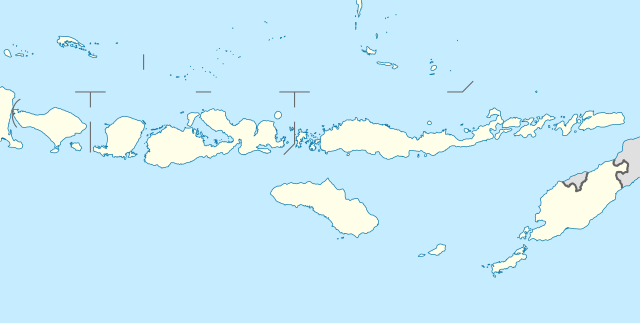
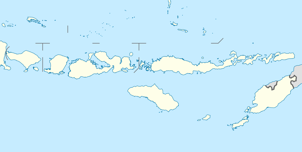
Quadratische Plattkarte, N-S-Streckung 101 %. Geographische Begrenzung der Karte:
Equirectangular projection, N/S stretching 101 %. Geographic limits of the map:
|
||
| วันที่ | |||
| แหล่งที่มา |
งานของตัว, using
|
||
| ผู้สร้างสรรค์ | NordNordWest | ||
| การอนุญาต (การใช้ไฟล์นี้ใหม่) |
ไฟล์นี้อยู่ภายใต้สัญญาอนุญาต ครีเอทีฟคอมมอนส์ แบบแสดงที่มา-อนุญาตแบบเดียวกัน 3.0 ของประเทศเยอรมนี
 ไฟล์นี้อยู่ภายใต้สัญญาอนุญาต ครีเอทีฟคอมมอนส์ แบบแสดงที่มา-อนุญาตแบบเดียวกัน 3.0 ของประเทศเยอรมนี
|
||
| เวอร์ชันอื่น | ไฟล์อื่นที่ใช้ไฟล์นี้: Corvus florensis range map.svg | ||
| SVG genesis | ซอร์สโค้ดของ SVG นี้ตรวจสอบถูกต้องแล้ว . ไฟล์ภาพกราฟิกส์เวกเตอร์นี้ สร้างขึ้นโดยใช้ Other tools
|


ประวัติไฟล์
คลิกวันที่/เวลาเพื่อดูไฟล์ที่ปรากฏในขณะนั้น
| วันที่/เวลา | รูปย่อ | ขนาด | ผู้ใช้ | ความเห็น | |
|---|---|---|---|---|---|
| ปัจจุบัน | 18:33, 18 กุมภาพันธ์ 2554 | | 1,323 × 668 (211 กิโลไบต์) | NordNordWest | c |
| 03:08, 20 กุมภาพันธ์ 2553 |  | 1,323 × 668 (277 กิโลไบต์) | NordNordWest | =={{int:filedesc}}== {{Information |Description= {{de|Positionskarte der Kleinen Sunda-Inseln, Indonesien}} Quadratische Plattkarte, N-S-Streckung 101 %. Geographische Begrenzung der Karte: * N: 6.2° S * S: |
หน้าที่มีภาพนี้
หน้าต่อไปนี้ โยงมาที่ภาพนี้:
การใช้ไฟล์ข้ามโครงการ
วิกิอื่นต่อไปนี้ใช้ไฟล์นี้:
- การใช้บน az.wikipedia.org
- การใช้บน ban.wikipedia.org
- การใช้บน ba.wikipedia.org
- การใช้บน bn.wikipedia.org
- การใช้บน cs.wikipedia.org
- การใช้บน de.wikipedia.org
- Kuta
- Gili-Inseln
- Flores (Indonesien)
- Sumbawa
- Kupang
- Komodo (Insel)
- Lombokstraße
- Rinjani
- Kelimutu (Berg)
- Lembata
- Waingapu
- Wehali
- Laran
- Borong
- Fatu Sinai
- Sawu
- Solor
- Larantuka
- Labuan Bajo
- Atambua
- Semau
- Egon (Vulkan)
- Adonara
- Gili Meno
- Nusa Penida
- Wikipedia:Kartenwerkstatt/Positionskarten/Asien
- Gili Air
- Pantar (Insel)
- Atapupu
- Mena (Biboki Moenleu)
- Straße von Alor
- Penfui
- Batur (Vulkan)
- Vorlage:Positionskarte Indonesien Kleine Sundainseln
- Moyo (Insel)
- Poco Mandasawu
- Ende (Flores)
ดูการใช้ข้ามโครงการเพิ่มเติมของไฟล์นี้