
ไฟล์:South China Sea location map.svg

ดูภาพที่มีความละเอียดสูงกว่า ((ไฟล์ SVG, 1,134 × 1,229 พิกเซล, ขนาดไฟล์: 617 กิโลไบต์))
| รูปภาพหรือไฟล์เสียงนี้ ต้นฉบับอยู่ที่ คอมมอนส์ รายละเอียดด้านล่าง เป็นข้อความที่แสดงผลจาก ไฟล์ต้นฉบับในคอมมอนส์
|
ความย่อ
| คำอธิบาย |
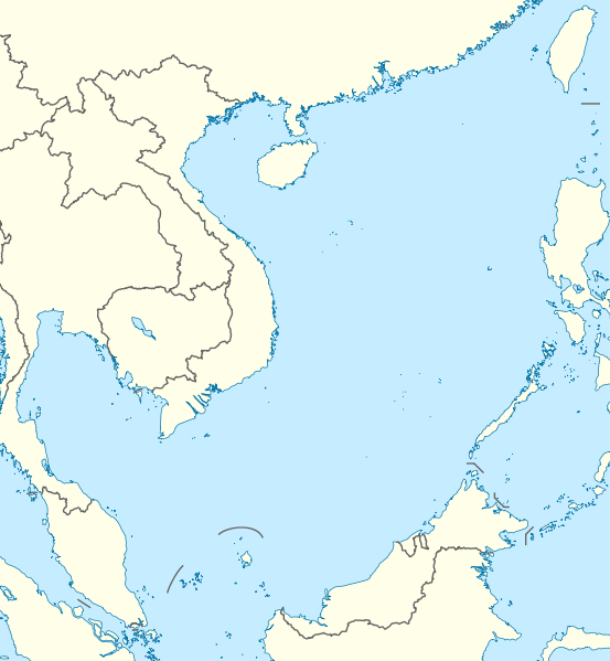
Deutsch: Positionskarte des Südchinesischen Meers
Quadratische Plattkarte, N-S-Streckung 102 %. Geographische Begrenzung der Karte:
English: Location map of the South China Sea
Equirectangular projection, N/S stretching 102 %. Geographic limits of the map:
|
|
| วันที่ | ||
| แหล่งที่มา | own work, using World Data Base II data | |
| ผู้สร้างสรรค์ | NordNordWest | |
| การอนุญาต (การใช้ไฟล์นี้ใหม่) |
ไฟล์นี้อยู่ภายใต้สัญญาอนุญาต ครีเอทีฟคอมมอนส์ แบบแสดงที่มา-อนุญาตแบบเดียวกัน 3.0 ของประเทศเยอรมนี
 ไฟล์นี้อยู่ภายใต้สัญญาอนุญาต ครีเอทีฟคอมมอนส์ แบบแสดงที่มา-อนุญาตแบบเดียวกัน 3.0 ต้นฉบับ
|


|
แผนที่นี้ถูกสร้างหรือพัฒนาขึ้นจาก Kartenwerkstatt (ห้องปฏิบัติการแผนที่) ของวิกิพีเดียภาษาเยอรมัน ซึ่งคุณสามารถเสนอแผนที่เพื่อพัฒนาได้เช่นเดียวกัน
|
ประวัติไฟล์
คลิกวันที่/เวลาเพื่อดูไฟล์ที่ปรากฏในขณะนั้น
| วันที่/เวลา | รูปย่อ | ขนาด | ผู้ใช้ | ความเห็น | |
|---|---|---|---|---|---|
| ปัจจุบัน | 01:56, 18 สิงหาคม 2554 | | 1,134 × 1,229 (617 กิโลไบต์) | NordNordWest | == {{int:filedesc}} == {{Information |Description= {{de|Positionskarte des Südchinesischen Meers}} Quadratische Plattkarte, N-S-Streckung 102 %. Geographische Begrenzung der Karte: * N: 25.5° N * S: 0° N * W: 98.5° O * O: |
หน้าที่มีภาพนี้
หน้าต่อไปนี้ โยงมาที่ภาพนี้:
การใช้ไฟล์ข้ามโครงการ
วิกิอื่นต่อไปนี้ใช้ไฟล์นี้:
- การใช้บน an.wikipedia.org
- การใช้บน ar.wikipedia.org
- การใช้บน az.wikipedia.org
- การใช้บน ban.wikipedia.org
- การใช้บน bcl.wikipedia.org
- การใช้บน be.wikipedia.org
- การใช้บน bn.wikipedia.org
- การใช้บน ceb.wikipedia.org
- การใช้บน de.wikipedia.org
- การใช้บน en.wikipedia.org
- Kaohsiung
- Paracel Islands
- Spratly Islands
- Hainan
- Weizhou Island
- Pratas Island
- Natuna Regency
- Perhentian Islands
- Woody Island (South China Sea)
- Batam
- Third Taiwan Strait Crisis
- Anambas Islands Regency
- Taiping Island
- Redang Island
- Lang Tengah Island
- Scarborough Shoal
- Kapas Island
- Kalayaan, Palawan
- Trường Sa (township)
- Tenggol Island
- Thitu Island
- Bidong Island
- List of temples of the Church of Jesus Christ of Latter-day Saints by geographic region
- List of airports in Taiwan
- Tree Island, South China Sea
- Rocky Island, South China Sea
- Triton Island
- Bombay Reef
- Natuna Besar
- Sansha
- 1967 USS Forrestal fire
- Spratly Island
ดูการใช้ข้ามโครงการเพิ่มเติมของไฟล์นี้