
ไฟล์:Map of Vientiane Province, Laos.jpg

ดูภาพที่มีความละเอียดสูงกว่า (1,347 × 1,145 พิกเซล, ขนาดไฟล์: 973 กิโลไบต์, ชนิดไมม์: image/jpeg)
| รูปภาพหรือไฟล์เสียงนี้ ต้นฉบับอยู่ที่ คอมมอนส์ รายละเอียดด้านล่าง เป็นข้อความที่แสดงผลจาก ไฟล์ต้นฉบับในคอมมอนส์
|
ความย่อ
| คำอธิบาย |
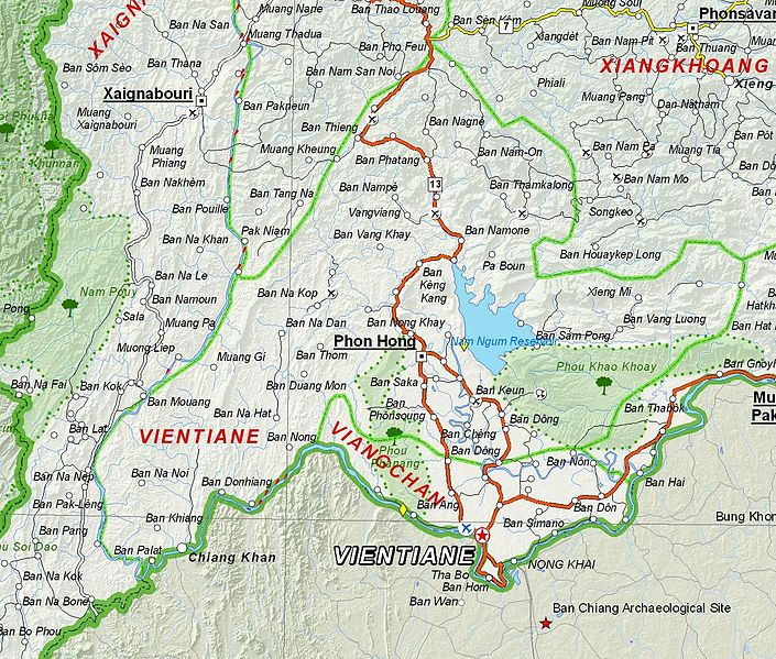
English: Map of Vientiane Province, Laos. |
| วันที่ | |
| แหล่งที่มา | Based on File:UNOSAT Laos Base Map.jpg |
| ผู้สร้างสรรค์ | UNOSAT, United Nations, modified by Dr. Blofeld |
| การอนุญาต (การใช้ไฟล์นี้ใหม่) |
The original file is marked with the UN symbol which means that it is a public domain resource. |
การอนุญาตใช้สิทธิ
| This image is a map derived from a United Nations map.
Unless stated otherwise, UN maps are to be considered in the public domain. This applies worldwide. UN maps are, in principle, open source material and you can use them in your work or for making your own map. UN requests however that you delete the UN name, logo and reference number upon any modification to the map. Content of your map will be your responsibility. You can state in your publication, if you wish, something like: based on UN map … (map name, map number, revision number and date). See: Geospatial Information Section. And: Geospatial, location data for a better world. |
 |
ประวัติไฟล์
คลิกวันที่/เวลาเพื่อดูไฟล์ที่ปรากฏในขณะนั้น
| วันที่/เวลา | รูปย่อ | ขนาด | ผู้ใช้ | ความเห็น | |
|---|---|---|---|---|---|
| ปัจจุบัน | 04:09, 7 ธันวาคม 2555 | | 1,347 × 1,145 (973 กิโลไบต์) | Blofeld Dr. | {{Information |Description ={{en|1=d}} |Source =d |Author =d |Date =d |Permission = |other_versions = }} d |
หน้าที่มีภาพนี้
หน้าต่อไปนี้ โยงมาที่ภาพนี้:
การใช้ไฟล์ข้ามโครงการ
วิกิอื่นต่อไปนี้ใช้ไฟล์นี้:
- การใช้บน en.wikipedia.org
- การใช้บน fa.wikipedia.org
- การใช้บน fr.wikipedia.org
- การใช้บน hr.wikipedia.org
- การใช้บน id.wikipedia.org
- การใช้บน mn.wikipedia.org
- การใช้บน ur.wikipedia.org
- การใช้บน vi.wikipedia.org